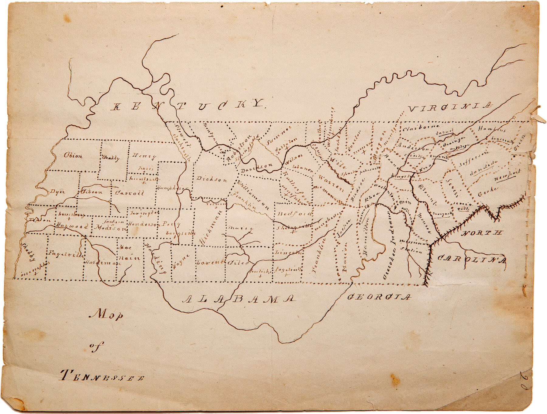
Geographic information systems is the suite of computer-based software and data used to capture, store, manipulate, map and analyze spatial data. This program will teach you to gather and utilize this data to benefit a variety of career fields, including cartography, resources management, military intelligence and others.


“I chose UT Martin because of the outstanding agriculture programs! UTM is an affordable school where everyone is so friendly and supportive. ”


